Evaluate the embankment of an oil tanker in order to localize all types of geological anomalies that could present a risk for the structure (decompressed area, hard point, vacuum, etc.). Passive seismic measurements were implemented and analyzes by MASW (Surface wave - Multichannel Analysis Surface Wave) and DCOS were carried out.
Equipments
Recorder: 96 channels
Receivers: 4.5 Hz geophones
Seismic streamers from 72 to 96 channels
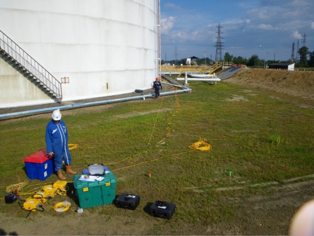
Seismic spread deployment
Twenty-four measurement profiles were carried out and the entire tank was covered by the measurements.
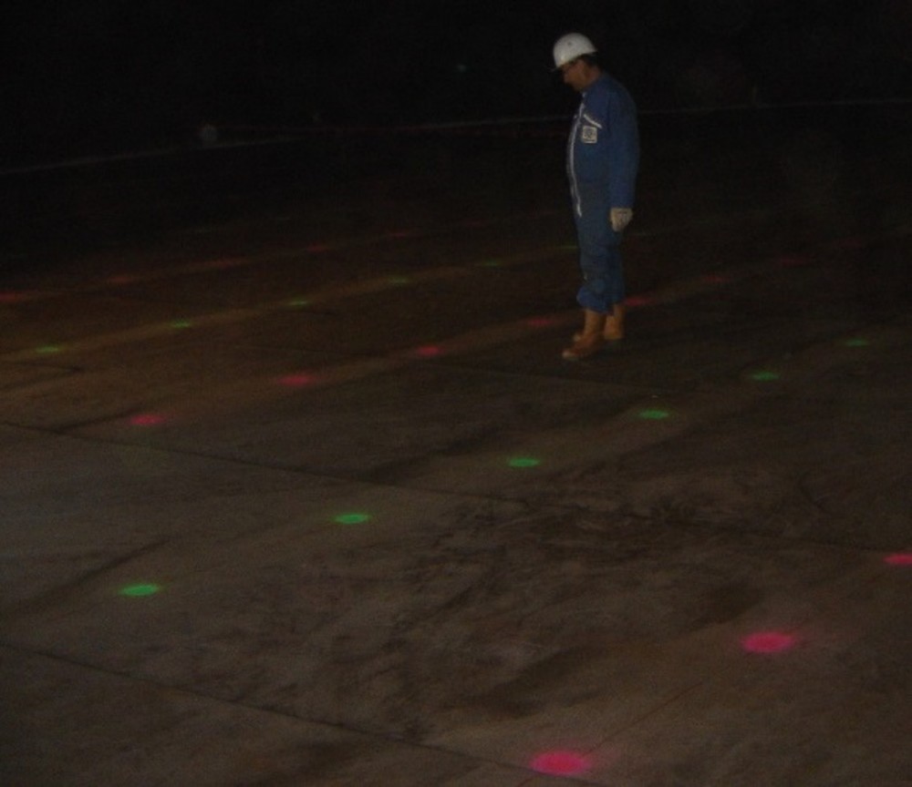
Location of geophones on the bottom of the tank
Seismic device connected to the recorders.
Results
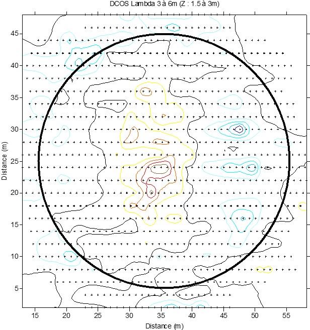
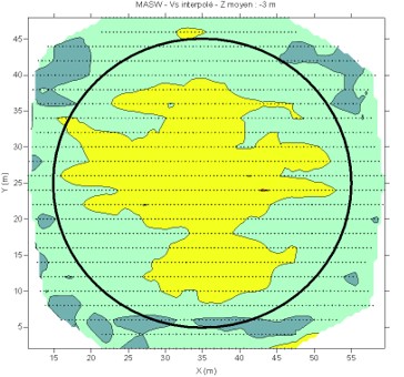
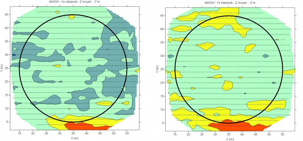
DCOS and MASW analyzes gave access to vertical 2D geo-referenced profiles. A 3-dimensional database was produced and the results were extracted in the form of slice at constant depth.
The DCOS anomaly located in the center of the tank is related to the more compact area identified by MASW. This over-compaction is due to a piston effect during the filling of the tank.
Slice at constant depth of 3 meters Geological anomaly section (DCOS)
Slice at constant depth of 3 meters Shear wave velocity variations
From 7 meters deep, a more stiffness level has been identified on one side of the tank.
This stiffer level explained a constant defect in the verticality of the tank.